


Trail No.6 The Spring Trail - KS

DOWNLOAD GPX POINTS OF INTEREST
Positioning - mountain
- Shar Mountain / central region
Starting point
- Prevallac recreation center – parking are in front of the restaurant & motel Kulla e Jetimit
Description of the trail
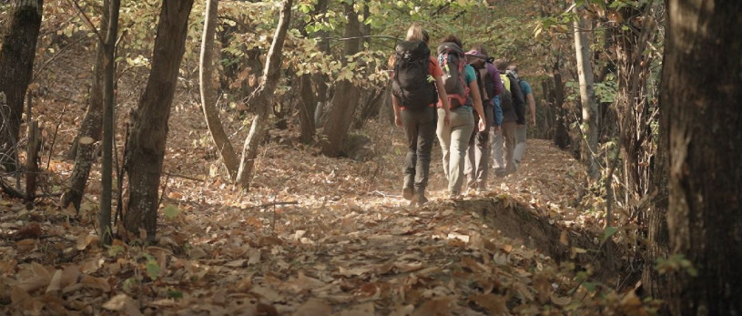
The beginning of this trail is at the Prevalla area which is on 1515 m altitude and 45 minutes’ drive from the city of Prizren, while the final destination is at the top of Shar Mountain Bistro cirque, approximately 8 km or 4 hours hiking. Prevalla is known as a small ski centre with three different climates, continental, polar and Mediterranean which can be experienced on the same day. In most of the area there is snow from November until May. The highest peak of the zone is at 2651m/asl and it is surrounded with other peak points with approximately similar altitude. The path of this hiking route goes close to the stream of the river Lumbardh (Bistrica) which flows through mountain valley to Prizren and further to Albania. The first few kilometres of the trail are more physically challenging, while further it gets easier and flatter before it moves on toward the forest and rocky part before the waterfalls. One of the main characteristics of this area is the proximity of around 500 m between two Lepenci rivers which belong to Aegean Sea drainage basin. The route provides an opportunity for meeting wild animals like Chamois - wild goat.
Technical and touristic data:
Starting point altitude:
- 1515 m/asl
Highest point:
- 2170 m/asl
Destination altitude:
- 2170 m/asl
Height difference:
- 655 m
Duration of the tour:
- 5 hours
Length of the tour:
- 8 km
Trail difficulty
- ☆ ☆ ☆ ☆ ☆
Required level of physical fitness
- ☆ ☆ ☆ ☆ ☆
Panoramas and landscapes
- The trail is panoramic from the beginning in different ways and angles
- The middle part and the highest point provide one of the most beautiful panoramic view, particularly the part approaching to the plato of the Bistra Cirque where one can view mountain Oshlak and Ostrvica on the north
- The last part of the trail provides hiking experience through the ridge on high altitude and through river basin of the Bistra and Lepenci rivers
- The landscape is mix forest, rocky and high grass land
Access to the start point
- Prizren - 29 km, Prishtina 100 km, Skopje 80 km, Tetovo 80 km and Tirana 215 km
- Local road Prizren R115 29 km, Brezovica 22 km
Starting point has parking spaces for vehicles, mini bus, van
Access to the end point:
- Prizren - 29 km , Prishtina 100 km, Skopje 80 km, Tetovo 80 km and
Tirana 215 km.
- Local road Prizren R115 29 km, Brezovica 22 km.
Places of tourism interest
The most attention-grabbing parts are the river streams, Bistrica waterfalls, the main springs of Bistrica River, the forest wild area, ecological area and the wildlife.
Points of interest
- Stani
- Ujevarat
- Burimi i Lumbardhit
Accommodation and food
- Kulla e Jetimit - Prevala recreation center
- Hotel Eja, Yjet e Sharrit - Prevala
- Hotel Sharri – Gornje Selo
- Hotel Morea
- Hotel Krojet
- Restaurant Koha
Public transport:
- Local transport from 07:00, 10:00, 14:30, 16:40 hours, from Prizren – Brezovica
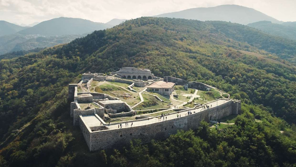
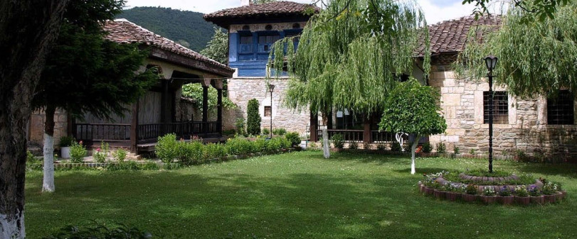
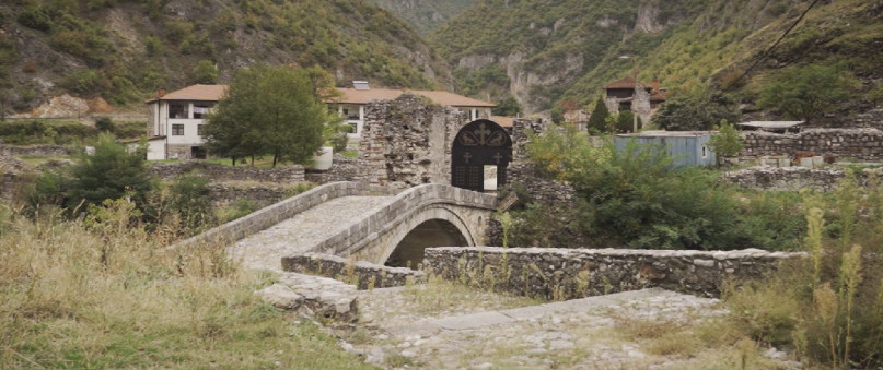
Trail No.6 images - KS


GET YOUR MOBILE APP
 |
 |
||
 |
 |
 This web has been produced with the assistance of the European Union. The content of this web is the sole responsibility of the implementing organisations and can in no way be taken to reflect the views of the European Union.