


Trail No.1 Korita Trail - NMK

|
(Village of Rogachevo – Picnic area Kaludjer – Mountaineering Hut “Ljuboten”) |
DOWNLOAD GPX POINTS OF INTEREST
- Shar Mountain / northeastern segment
Starting point
- Village of Rogachevo
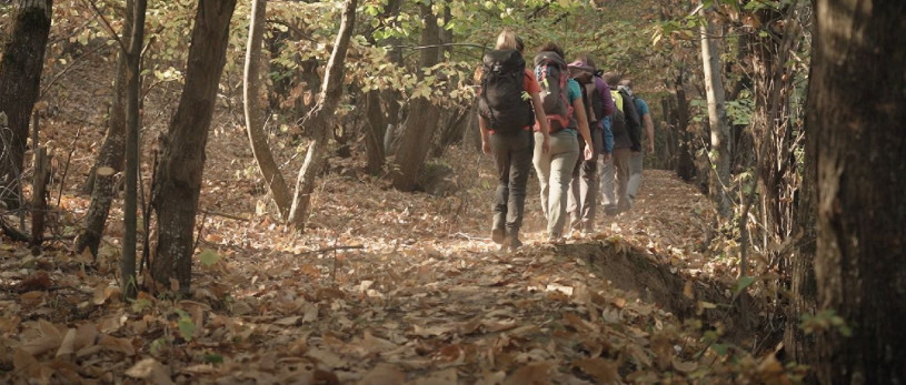
Description of the trail
The trail starts from the center of the village of Rogachevo and passes through the upper part of the village, heading north to the locality "Kalugjer". From that point, the trail continues along a wide road through the forest and heading south and it merges with the road that goes from the village to the locality "Korita". At this point of merging there is a repeater. From there, the trail moves along a wide road with main direction towards north and climbs up to the locality "Rogachevski Korita". After going past "Rogachevski Korita", by a wide unpaved road we are heading north/northwest and passing along the Rogachevo Sheep Farms, we are moving along an isohypse at a height of 1600 meters and we reach the Mountaineering Hut "Ljuboten". Near the hut there are the Staro Selo Sheepfolds and "Villa Ljuboten".
Technical data:
Altitude at the start point
- The village of Rogachevo – 865 masl
Highest point
- Mountaineering Hut “Ljuboten” – 1635 masl
Altitude at the end point
- Mountaineering Hut “Ljuboten – 1635 masl
Trail duration
- 2.30 hours
Trail length
- 8 km
Altitude gain
- hike up – 775 m
- hike down – 35 m
Trail difficulty
- ☆ ☆ ☆ ☆ ☆
Required level of physical fitness
- ☆ ☆ ☆ ☆ ☆
Panoramas and landscapes
Access t`o the start point
- Motorway Skopje – Tetovo, 43 km
- Local road Tetovo – village of Rogachevo, 27 km
- In the village Rogachevo, on the streets there is a possibility for parking a vehicle.
Access to the end point:
-
Motorway Skopje – Tetovo, 43 km
-
Local road Tetovo – village of Staro Selo, 25 km
-
Unpaved road village of Staro Selo – Mountaineering Hut “Ljuboten”, 7 km (only for 4х4 vehicles)
-
Near the Mountaineering Hut “Ljuboten” there is a possibility for parking for several vehicles.
Points of interest
-
from the starting point:
- Lake “Vratnichko Ezero” (15 minutes driving from the village of Rogachevo)
- Picnic area “Petacko vodiche“ – village of Belovishte (15 minutes driving from the village of Rogachevo)
- from the end point:
-
Ljuboten Peak - 2.30 hours hiking from Mountaineering Hut “Ljuboten”
- Lake “Livadichko Ezero” – 3.30 hours hiking form Mountaineering Hut “Ljuboten”
Accommodation and food
- Mountaineering hut “Ljuboten”, Shar Mountain
- “Vila Ljuboten”, Shar Mountain
- Hostel “Kitka”, Village of Vratnica
- Family house, “Belojshki Biser”, Village of Belovishte
Public transport:
- Public bus, van transport and taxi
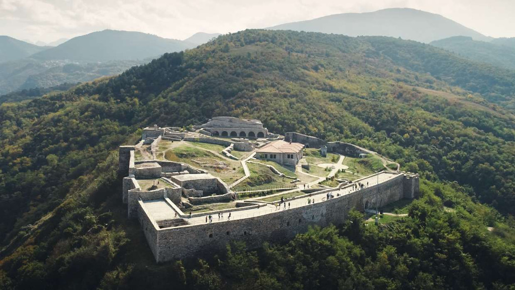
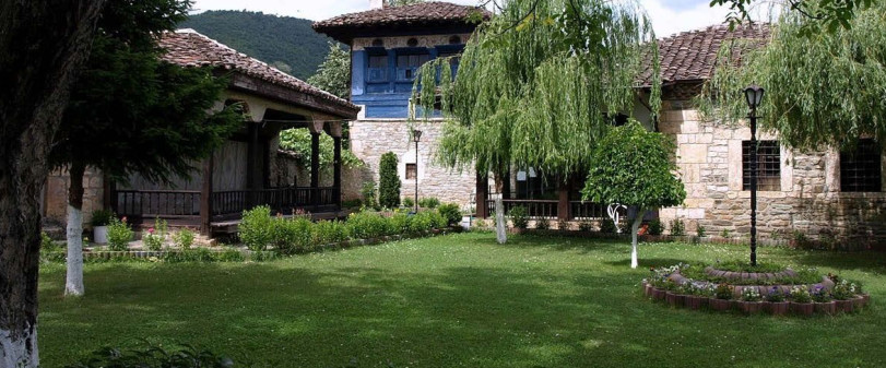
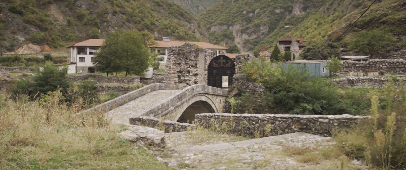
Trail No.1 NMK images


GET YOUR MOBILE APP
 |
 |
||
 |
 |
 This web has been produced with the assistance of the European Union. The content of this web is the sole responsibility of the implementing organisations and can in no way be taken to reflect the views of the European Union.