Trail No.10 The River Trail - NMK

|
(Sharski Vodi / Mzdracha – Springs of river Mzdracha – Bugarski Kolibi) |
DOWNLOAD GPX POINTS OF INTEREST
Positioning - mountain
- Shar Mountain/ southern segment
Starting point
- Sharski Vodi, Mzdracha River
Description of the trail
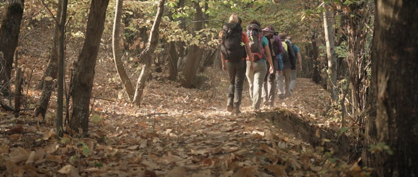
The starting point for this trail is located on the water channel "Sharski Vode", which leads to a wide unpaved road that starts between villages Negotino and Senokos. On the channel, at an altitude of 1350 meters, there is a water reservoir that uses the water of the Mzdracha River and enters it into the channel. The trail to the springs of the Mzdraca River starts from a facility located on this place. In the direction to the west, we climb steeply into a thick forest belt, from where at an altitude of 1500 meters we descend to the merging of the rivers Mzdracha and Vrachanska, and before Vrachanska River flows into the Mzdracha, we cross the Vrachanska River, we climb briefly and continue on the left bank of the Mzdraca River towards the south. We reach the cirque of Mzdraca where you can see the remains of the old Sheep Farms and Watchtowers and from this position we can head southwest and climb to the springs or cross the Mzdraca River and climb to the east steeply to the "Budimov Grob" from where we can also climb the Bugarski Kolibi to the north in only 100 meters. The descend from the peak can be along the same trail or on a marked trail to the village of Pozharane.
Technical data:
Altitude at the start point
- Sharski Vode, Mzdracha – 1340 masl
Highest point
- Bugarski Kolibi Peak – 2200 masl
Altitude at the end point
- Bugarski Kolibi Peak – 2200 masl
Trail duration
- 4.00 - 4.30 hours
Trail length
- 11 km
Altitude gain
- hike up – 900 m
- hike down – 50 m
Trail difficulty
- ☆ ☆ ☆ ☆ ☆
Required level of physical fitness
- ☆ ☆ ☆ ☆ ☆
Panoramas and landscapes
The first part of the trail gives us a wonderful view of the peak Golema Vraca, from where the canyon of the Mzdraca river opens to the south. From the peak Bugarski Kolibi we can see all the southern peaks from left to right (Rasengjul, Radika Peak, Mala Vraca, Golema Vraca, Rudoka, Borislavec).
Access to the start point
- Motorway Skopje - Tetovo, 43 km
- Local road Tetovo – village of Negotino, 14 km
- Unpaved road village of Negotino – Water reservoir, Mzdracha (Sharski Vode), 20 km
- Next to the water reservoir there is a possibility for parking for several vehicles.
Places of tourism interest
- from the start and end point:
- Peak Rudoka (4 hours of walking from the Water reservoir, Mzdraca, Sharski Vode)
- Lakes “Vrachanski Ezera” (3 hours of walking from the Water reservoir, Mzdraca, Sharski Vode)
- Bugarski Kolibi Peak (4 hours of walking from the Water reservoir, Mzdraca, Sharski Vode)
- Golema Vraca Peak (4 hours of walking from the Water reservoir, Mzdraca, Sharski Vode)
- Village of Pozharane (3 hours of walking from the peak Bugarski Kolibi)
- Gostivar
Accommodation and food
- Different accommodation in Tetovo and Gostivar
Public transport:
- Public bus, van transport and taxi
 This web has been produced with the assistance of the European Union. The content of this web is the sole responsibility of the implementing organisations and can in no way be taken to reflect the views of the European Union.


