Trail No.3 The tower Trail - NMK
|
(Village of Tearce – Bigor Area – Village of Brezno – Lake “Brezjansko Ezero” – Brezjanski Kule Peak) |
DOWNLOAD GPX POINT OF INTEREST
Positioning - mountain
- Shar Mountain / northeastern segment
Starting point
- Village of Tearce
Description of the trail
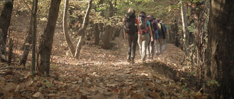
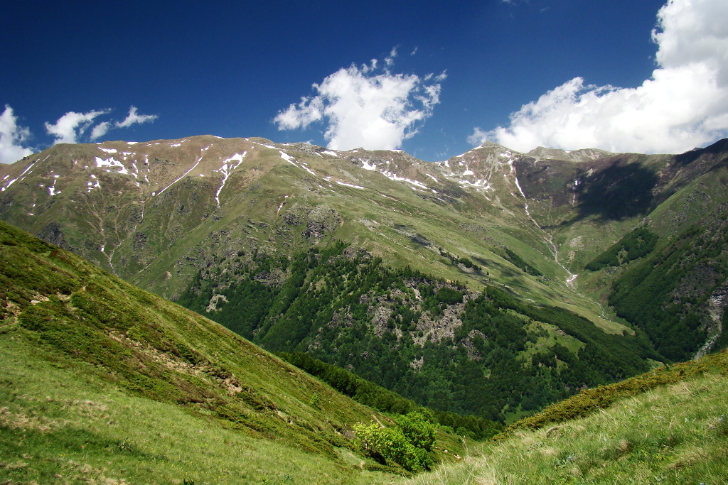
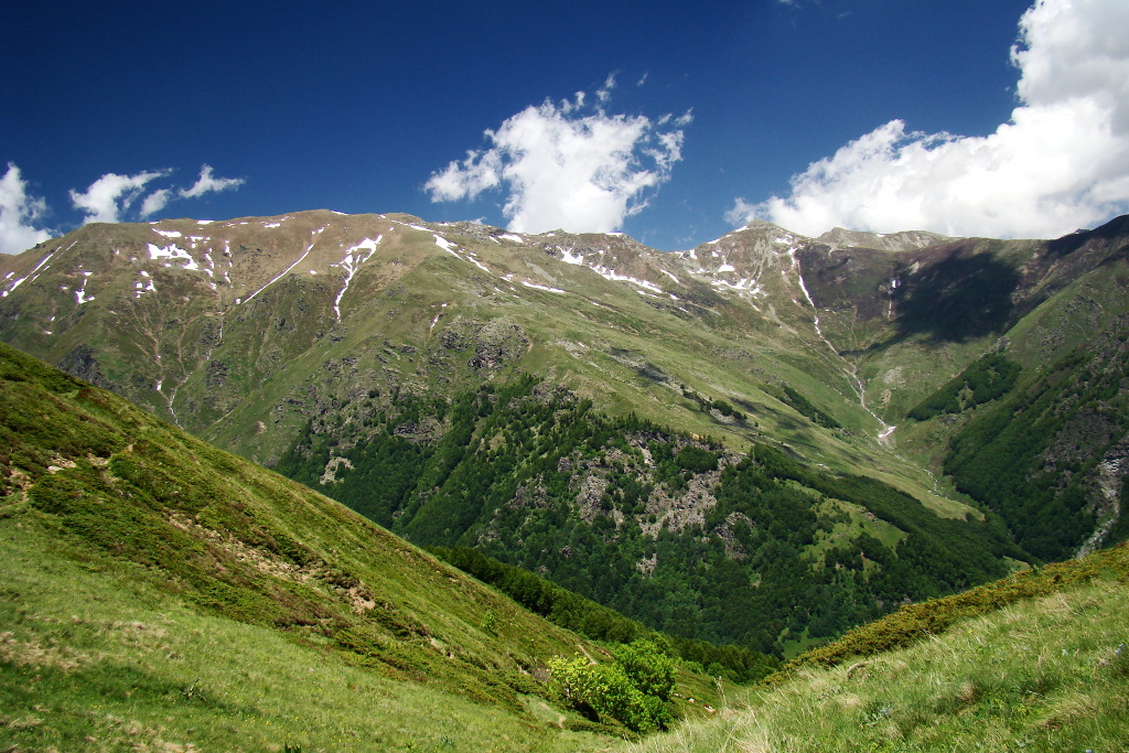
The trail which is very well known by the locals and leads to the Village of Brezno, starts from the center of the Village of Tearce. The main direction we are heading is towards north/ northwest and it immediately begins with a climb along a wide unpaved road to the Village of Brezno. This part of the trail passes through an old chestnut forest, by which this region is recognizable. From the village along the trail leading to the locality "Tri Vode" we are heading to "Brezjansko Lake" from where we change the direction to south and we start with a mild climb to the place called "Brezjanski Livadi". The trail in this area passes through a not so dense forest belt along a wide unpaved road and after the meadows continues into a mountain trail. From this point the trail enters into a thick forest belt and on the same level reaches the meadows that are located under the peak Brezjanski Kule. This part of the trail is quite relaxing, because there is no ascent and it passes through untouched nature. The thick beech forest on the summer days is great for a break before arriving at the pasture area. When the trail comes out on the meadows under the peak Brezjanski Kule, it merges with the trail that goes from the peak Brezjanski Kule to "Tri Vode" from where it extends south to the saddle under the peak Brezjanski Kule. From this point after only 60 meters of steep climbing in the direction towards east we arrive at the peak Brezjanski Kule.
Technical data:
Altitude at the start point
- Village of Tearce – 515 masl
Highest point
- Brezjanski Kule Peak – 1939 masl
Altitude at the end point
- Brezjanski Kule Peak – 1939 masl
Trail duration
- 4.30 – 5.00 hours
Trail length
- 15 km
Altitude gain
- hike up – 1389 m
Trail difficulty
- ☆ ☆ ☆ ☆ ☆
Required level of physical fitness
- ☆ ☆ ☆ ☆ ☆
Panoramas and landscapes
This trail is characterized by two points from which beautiful landscapes can be experienced. In the first part of the trail it is the "Brezjanski Livadi" where we see the old part of the Polog valley and in the second part it is the peak Brezjanske Kule from where the ideal view of the middle course of the river Tearechka Bistrica opens to the north and also a view towards the peaks Peskovi and Ezerski Vrv and to the south the cirque of the Leshochka River with a view towards the Polog Valley.
Access to the start point
- Motorway Skopje - Tetovo, 43 km
- Local road Tetovo – village of Tearce, 12 km
- In the center of the village there is a possibility for parking of several vehicles.
Access to the end point
- from the start point:
- “Tri Vode“- 2.30 hours hiking from village of Tearce
- “Melovo” – 2.00 hours hiking from village of Tearce
- Monastery of Leshok – 15 minutes driving from village of Tearce
Accommodation and food
- Complex “Monastery of Leshok”, village of Leshok
- Hostel “Kitka”, Village of Vratnica
- Different accommodation in Tetovo
Public transport:
- Public bus, van transport and taxi
 This web has been produced with the assistance of the European Union. The content of this web is the sole responsibility of the implementing organisations and can in no way be taken to reflect the views of the European Union.

