Cross-border Trail No.11 The Old Trade Trail - NMK
|
(Tetovo – Springs of mineral water Banjiche - V.of Selce - V. of Brodec - V. of Veshala - Karanikola Green Pass – Prizren) |
DOWNLOAD GPX POINTS OF INTEREST
Positioning - mountain
- Shar Mountain / central segment
Starting point
- Tetovo
Description of the trail
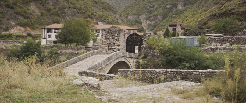
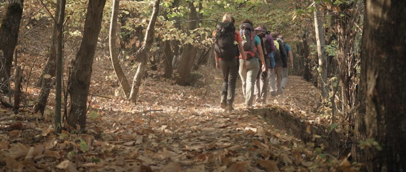
This is a trail that starts from Tetovo and ends in Prizren or vice versa. The old trade trail, or The Royal Road (Кралскиот Пат), is a trail that starts from Gorno Maalo and follows the Pena River. Passing by the area "Banjiche", the source of the mineral water, the path goes to the village of Selce, and passes beneath the village. From here it begins the move towards the village of Brodec, where it passes through a rocky path which was traced in the period of the 1920s and 1930s. To this point, the village of Brodec, the direction of the trail is towards northwest. From the village of Brodec the trail is on the asphalt road to the village of Veshala from where it starts to climb to the green pass or "Shar" pass at Karanikola. From the village of Vesala the trail takes place on a wide dirt road that steeply rises above the village and then gently climbs along the right side of the Karanikolichka River. At an altitude of 1,760 meters, where the fountain is built, the wide road then turns into a mountain trail where after another km. of northwest direction, at the site with signposts, sharply turns north where it steeply climbs to the green pass on altitude of 2000 meters.
From this position the trail crosses to Kosovo, descends to the Mountain Hut "Sharri", the village of Zapluzhe and generally goes north to the town of Prizren.
Technical data:
Altitude at the start point
- Tetovo – 500 masl
Highest point
- Karanikola - Green Pass 2065 – masl
Altitude at the end point
- Prizren – 415 masl
Trail duration
- 8.00 – 10.00 hours
Trail length
- 49 km
Altitude gain
- hike up – 1565 m
- hike down – 1650 m
Trail difficulty
- ☆ ☆ ☆ ☆ ☆
Рequired level of physical fitness
- ☆ ☆ ☆ ☆ ☆
Panoramas and landscapes
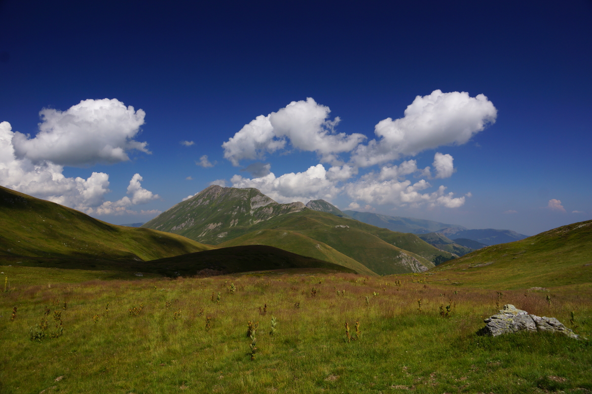
Moving along this path there are several moments where we have places for panoramic sightseeing.
One of the landscapes is when we move along the rocky path that we explain in the description, from where we have a view of the most dominant peak of Shara, Kobilica and the middle course of the river Pena.
The second important place where we have a nice panoramic view is right after the hike over the village Vesala, from where you can see several segments of Lesnica to the south and Jelachki Crn Vrv to the southeast.
Of course, the most important panoramic point is the green pass from where you can see the entire central part of the Shara with the Leshnicki Rocks, Titov Vrv and Karanikola Lake on the Macedonian side and the valley of Prizren Bistrica on the Kosovo side.
Access to the start point
- Motorway Skopje - Tetovo, 43 km
Places of tourism interest
from start point:
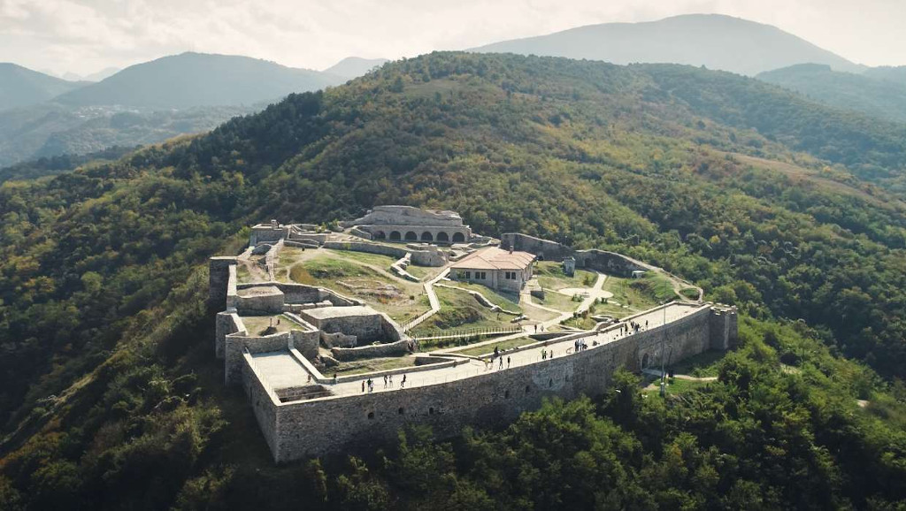
- Tetovo Fortress (15 minutes driving from Tetovo)
- Banjiche (15 minutes driving from Tetovo)
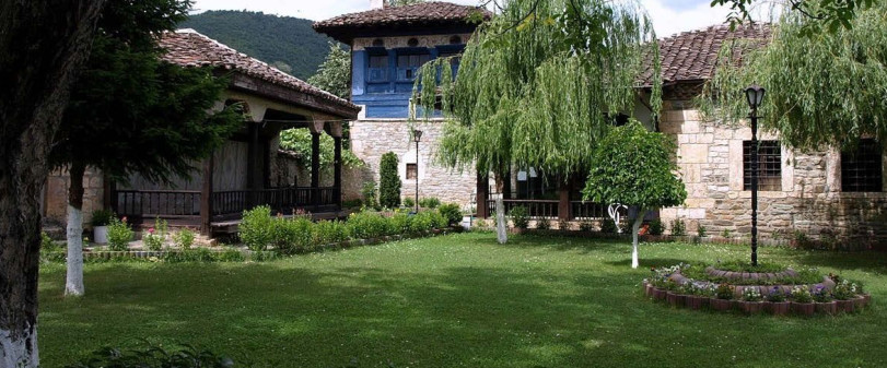
- Arabati Baba Tekje (10 minutes driving from the Center of Tetovo)
- Sharena Dzhamija (10 minutes driving from the Center of Tetovo)
- Turkish Hammam (10 minutes driving from the Center of Tetovo)
- Museum of Tetovo (10 minutes driving from the Center of Tetovo)
- Museum of CPM (10 minutes driving from the Center of Tetovo)
- Gallery of Icons (10 minutes driving from the Center of Tetovo)
Accommodation and food
- Different accommodation in Tetovo
Public transport:
- Public bus, van transport and taxi
 This web has been produced with the assistance of the European Union. The content of this web is the sole responsibility of the implementing organisations and can in no way be taken to reflect the views of the European Union.

